|
|
|
|
 enlarge enlarge
|
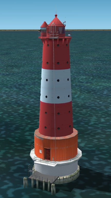
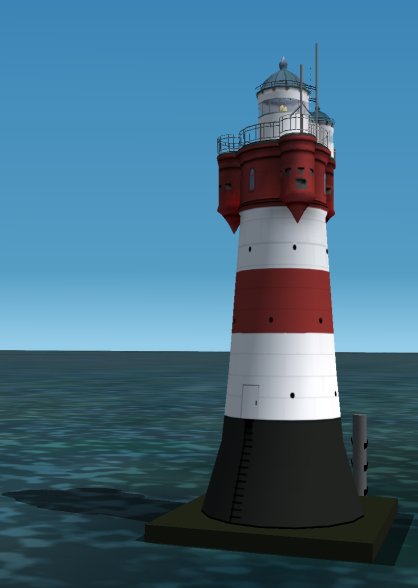
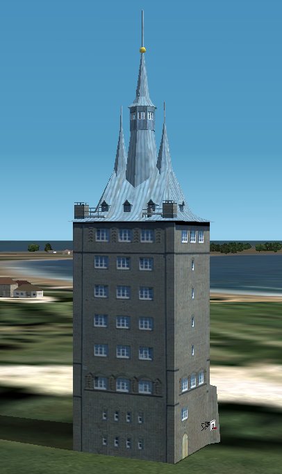
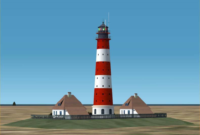
Campen, Germany
Position: N53* 24.30' E7* 00.80' (to the north of Emden, Germany)
This is the largest lighthouse in west-germany.
|
|
|
|
|
|
|
|  Campen, Germany Campen, Germany
|
|
|
|
|
|
enlarge
|
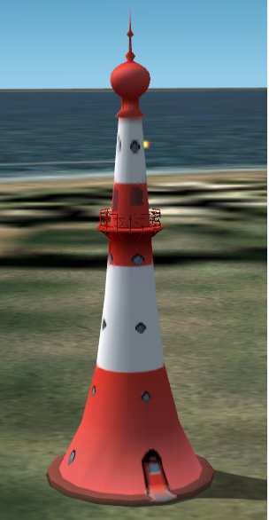
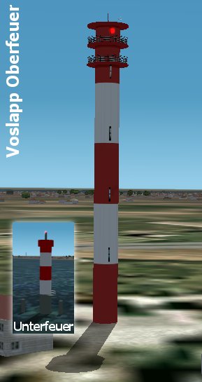
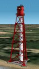
Knock, Germany (v2)
Position: N53* 22.34' E7* 00.62' (near Emden, Germany)
LOD: default
It looks like a spaceship in a Sifi-movie.
Other special infos you can get from the net!
|
|
|
|
|
|
|
| Knock, Germany (v2)
|
|
|
|
|
|

enlarge
|
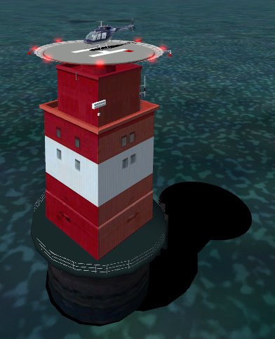
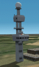
Lighthouse Mellum Plate, Germany
Position: N53* 46.30' E8* 5.55' (near Mellum, Germany)
Nothing special to say about it, just try to land on it
6mx6m LANDABLE HELIPAD at 27m above zero.
|
|
|
|
|
|
|
| Lighthouse Mellum Plate, Germany
|
|
|